Drone Survey
Drone surveys are becoming an ever-increasing tool for surveying projects of all size. Fast and efficient, our drone surveys can pick up a mass amount of data and of course are safer, and able to reach areas that other types of surveying methods sometimes can’t.
We provide imagery for the client that can be crucial in terms of referencing back where are project sat at that point in time, enabling the client to demonstrate a visual to the intended audience that ground photos and records simply can’t.
Videos
Examples of Some of Our Past Projects
Drone Survey Example 1:
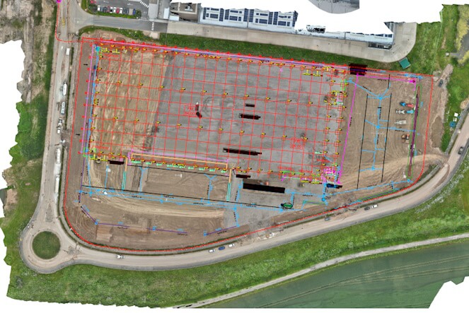
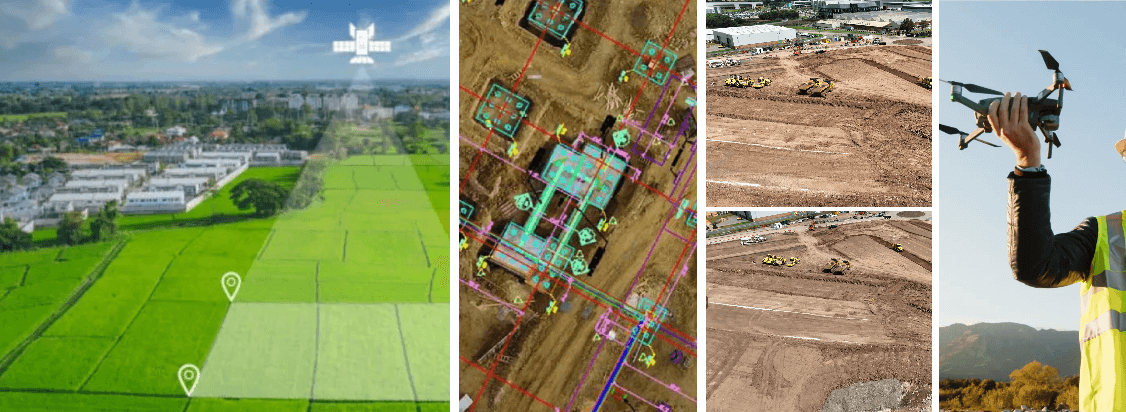
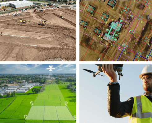
We frequently carry out drone survey for our clients on a weekly basis to monitor and record the progress of works. As you can see from the image, hundreds of drone images are accurately stitched together to form one overall site image. We can overlay multiple CAD drawings to the image to give our clients an on site perspective and understanding of current conditions and progress.
Drone Survey Example 2:
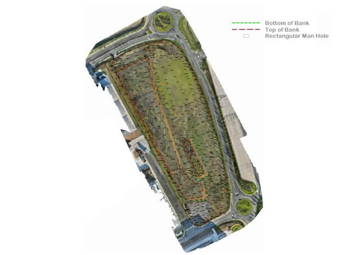
If the drone isn’t used to survey the on site data, which it wasn’t in this case, we can still survey the site to produce the overall stitched together site image to overlay. The drone survey is stored on our system so any data that needs to be picked up in the future can always be called upon.
Drone Survey Example 3:
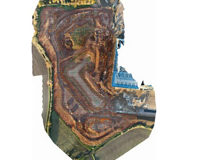
Our drones are capable of surveying large areas of land to accurate tolerances. Once our tie point and ground control points have been implmented our drone surveying can save days of man time and resource with often just as much accuracy.
Drone Survey Example 4:
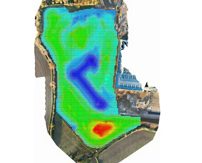
Our drone surveying doesn’t just end with the flight and data capture. From our drone surveys we can create models, use our surveys to produce cut and fills and demonstrate various deliverables for our clients to suit their needs and requirements.
Let's Collaborate!
Need a hand? Let us help you. Fill out the following form and we will get back to you as soon as possible.
01949 480434
enquiries@valescape.co.uk
valescape-surveying.co.uk

